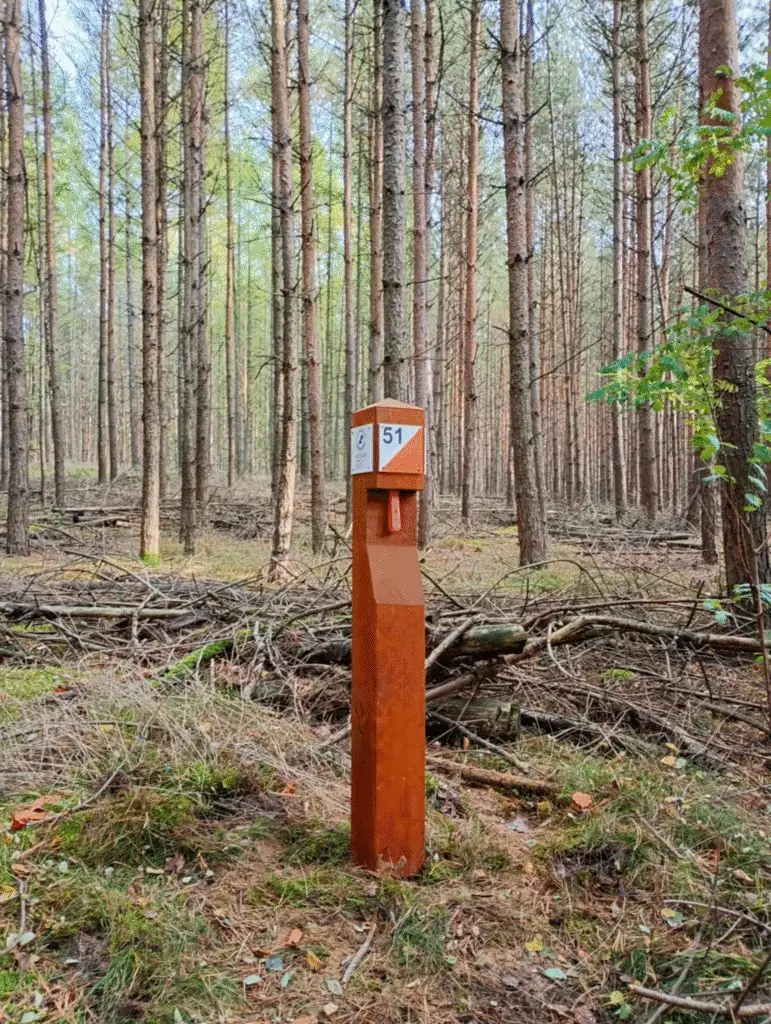
We built the “Żarnowiec” Green Control Point in 2023 with the Konstantynowo Forest District, in Dopiewo municipality — funded by Poznań County. There are 12 permanent control points over 2.5 km².
The start is very family-friendly: a shelter, a fenced playground, a meadow with benches and a large car park. After the forest you can rest by the only spring of its kind in Wielkopolska — the Żarnowiec spring.
Routes: family (4 points) plus two short, two medium and two long. We refreshed the 1:10,000 maps (2.5 m contours) in May 2024, and we inspect and maintain every point each year.
The start is by the fenced playground and the shelter in Żarnowiec (Dopiewo municipality). There is a large car park in front of the playground and a second one by the Żarnowiec spring.
Show the start on a map →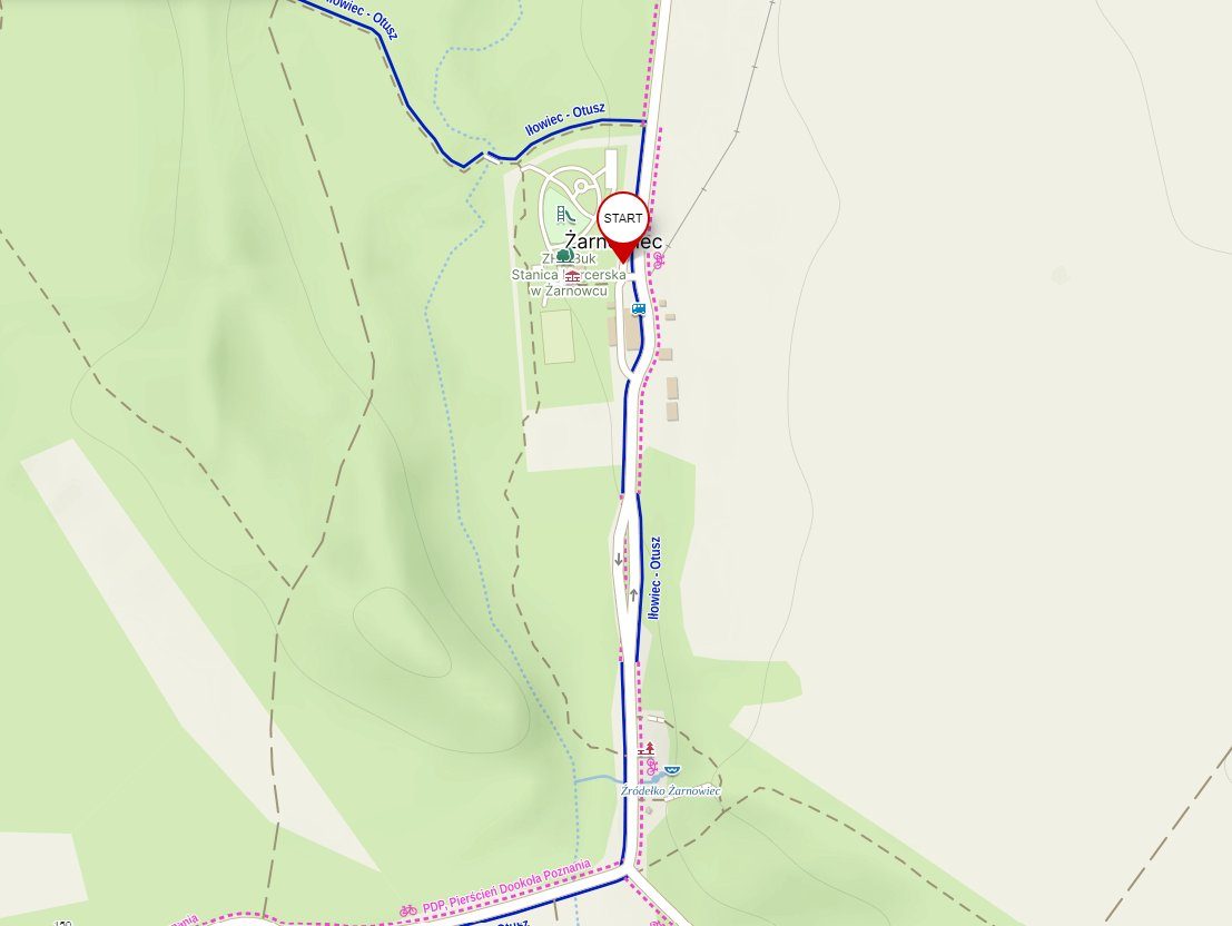
- Large car park by the playground and a second by the spring
- Shelter and fenced playground
- Benches, tables and picnic spots
- The Żarnowiec spring — a natural monument
Forest district page: konstantynowo.poznan.lasy.gov.pl/zielony-punkt-kontrolny
Pick your route
Route length is measured in a straight line between control points — how you get from one to the next is up to you. Families and beginners: start with the family or short route.
A short loop near the start — perfect with small children.
Two variants for your first solo steps with a map.
Deeper into the Konstantynowo forest.
All 12 points in different combinations.
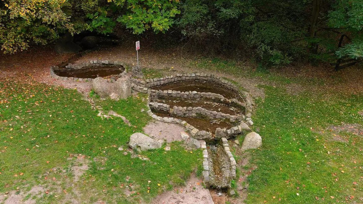
The Żarnowiec spring
A natural monument since 1994. It is a karst-type (vauclusian) spring — water rises to the surface on its own, naturally and in a concentrated flow. In Poland such springs are found in the Tatras and the Lublin and Kraków-Częstochowa uplands. In Wielkopolska it is the only one — and it is right next to the ZPK start.
Żarnowiec in pictures
Start: shelter, meadow and playground
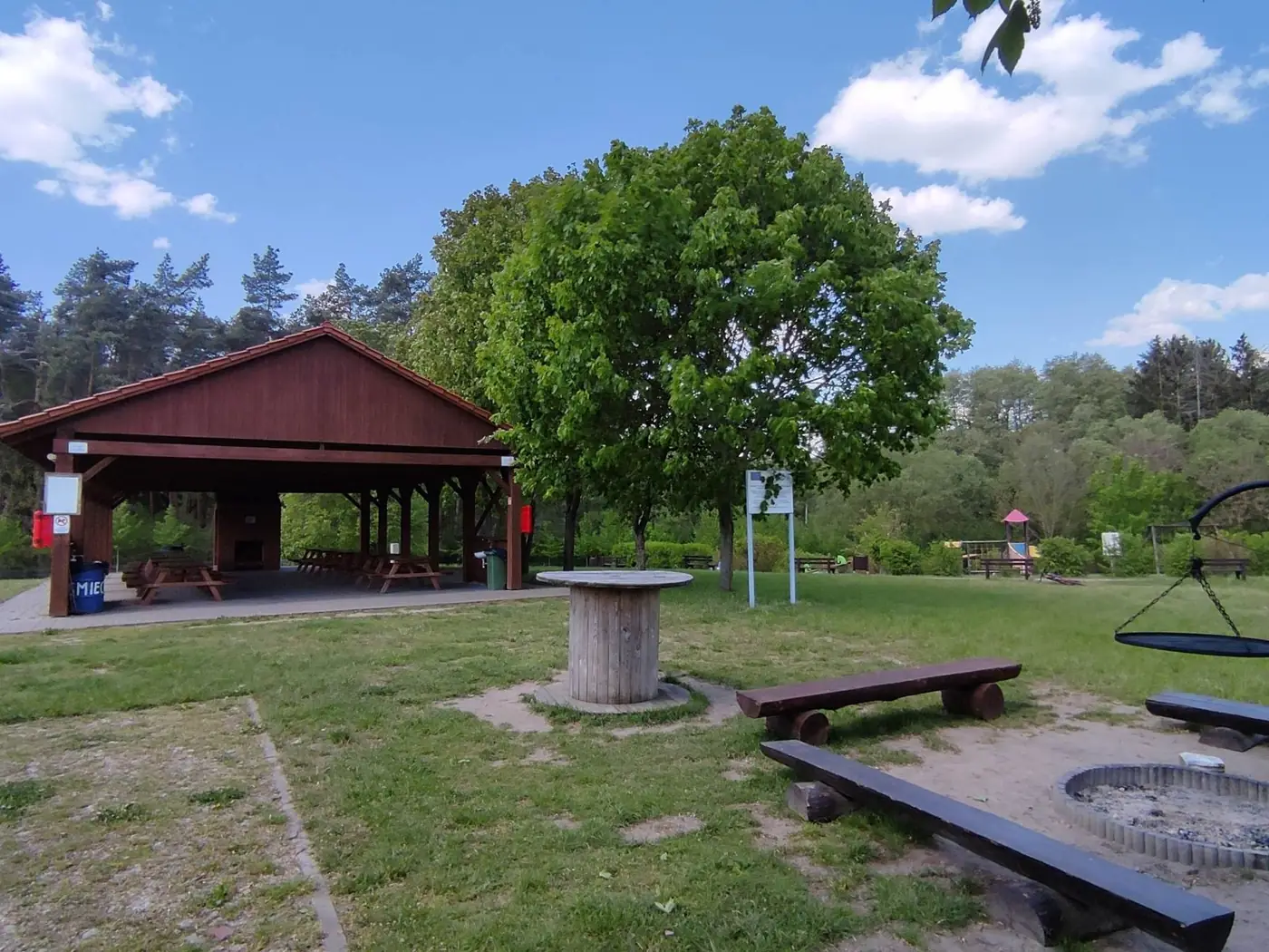 The shelter at the start
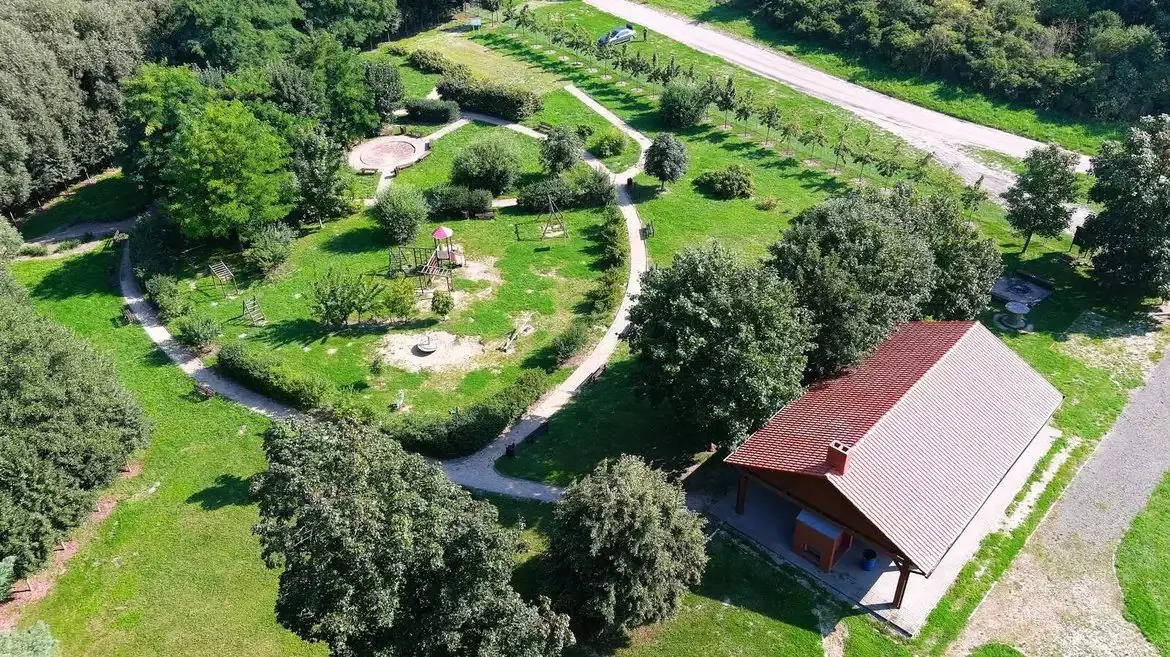 The start area from above
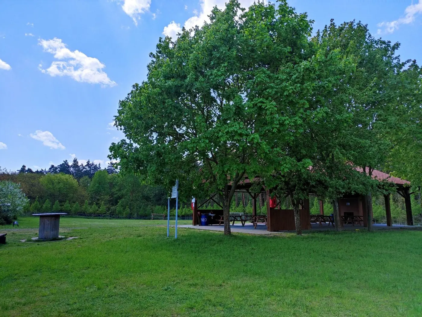 The meadow and shelter by the forest
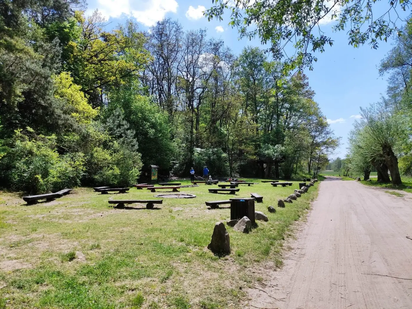 Picnic spot on the way into the forest
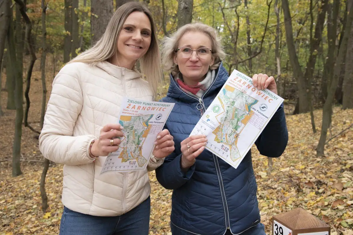
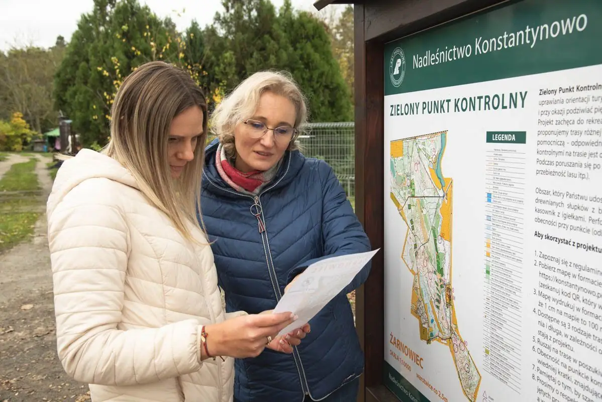
Into the forest with a map
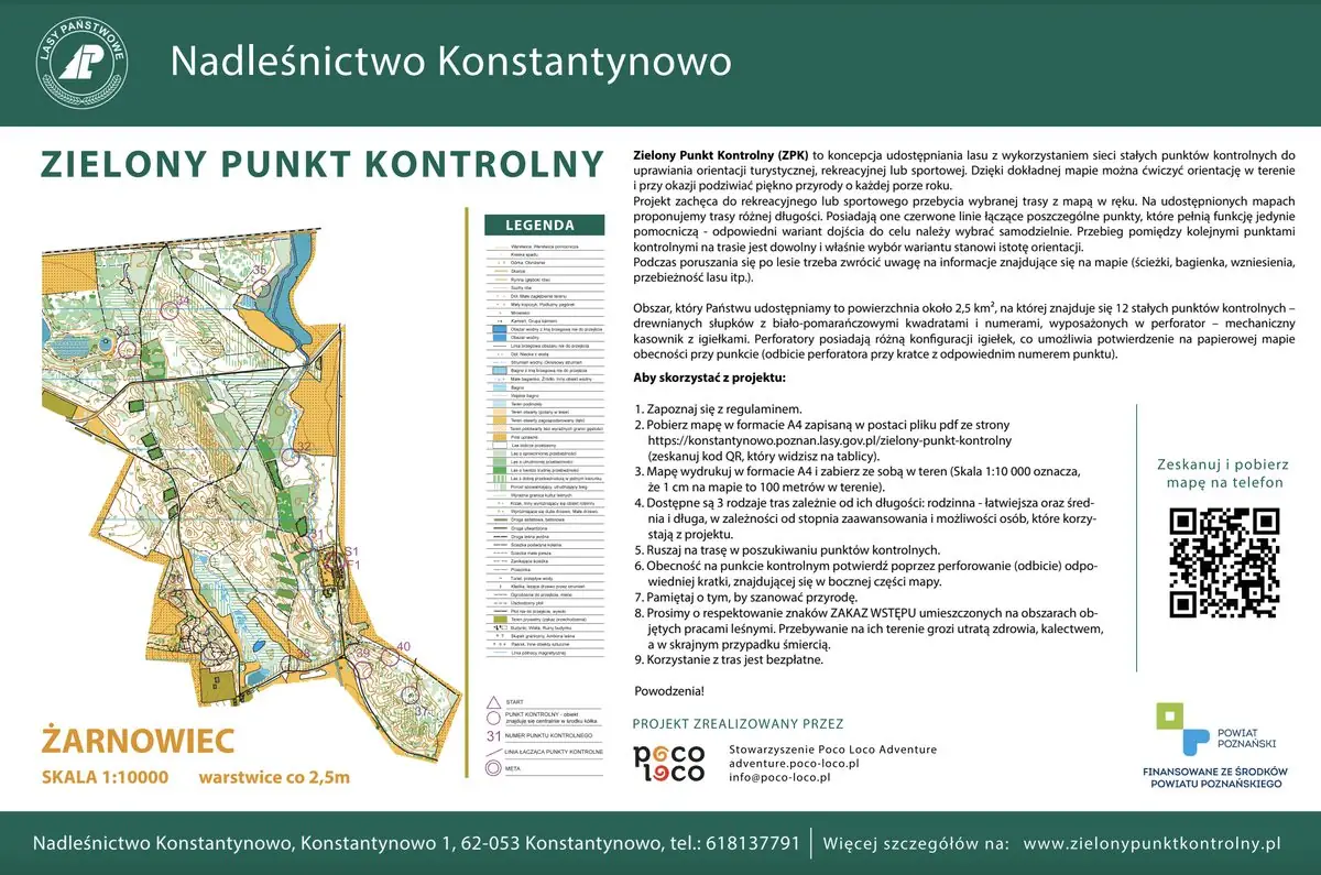
Courses
Print the map on A4 (scale 1:10,000 — 1 cm on the map is 100 m in the forest) and take it with you.
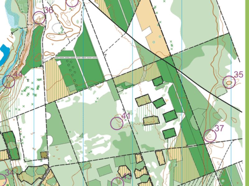
Map of all points
Open full size →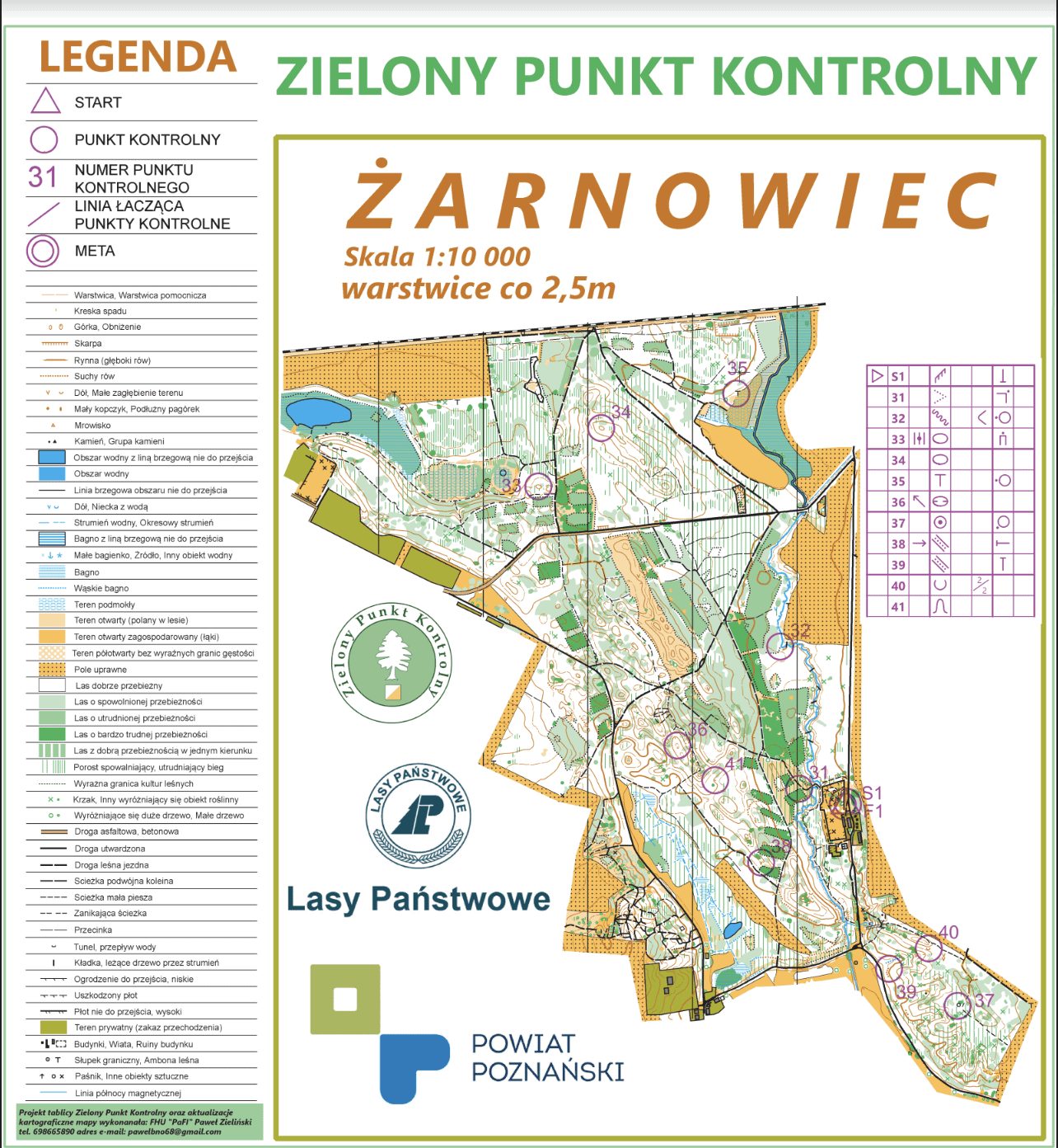
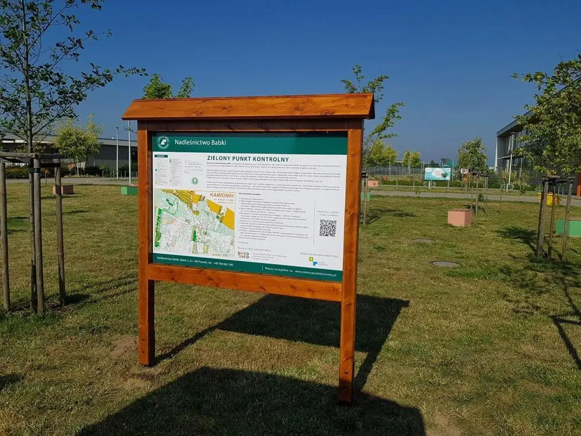
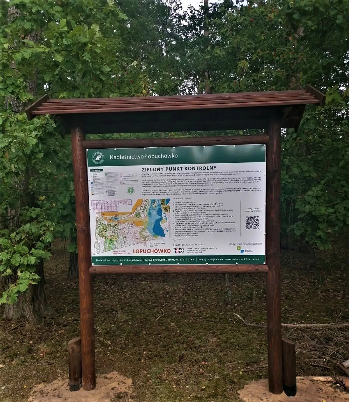
Choose a course — family, short, medium or long — and print the map at 1:10,000. The start is at the information board.
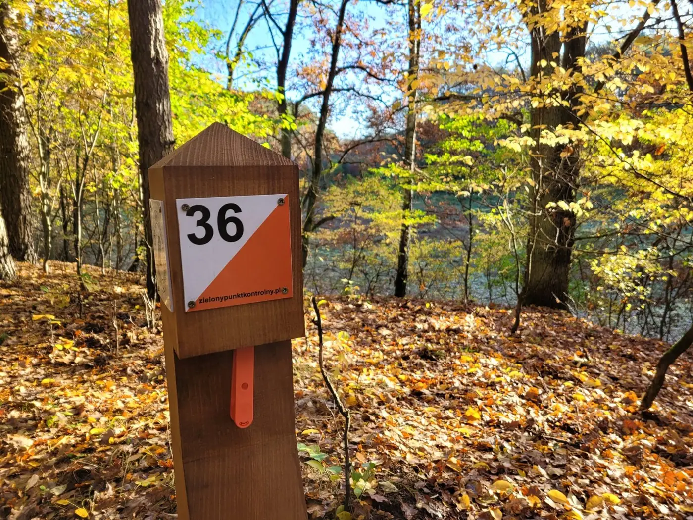
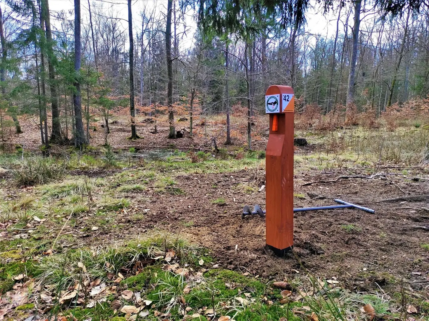
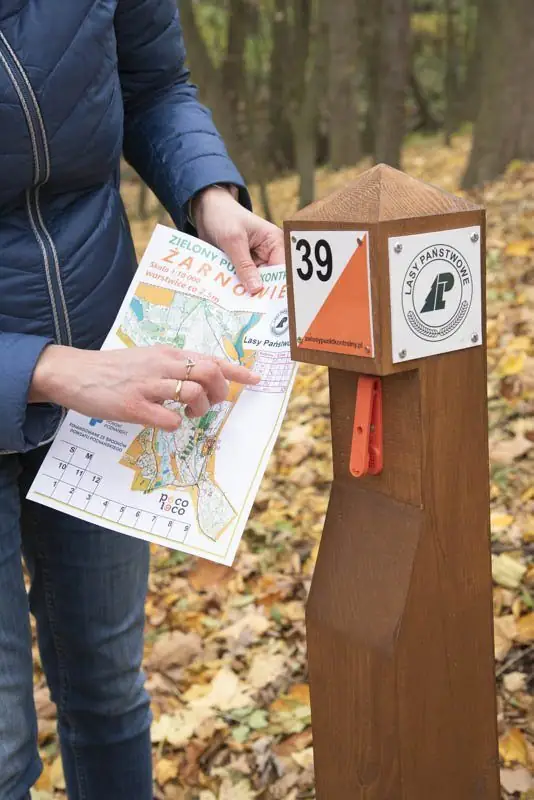
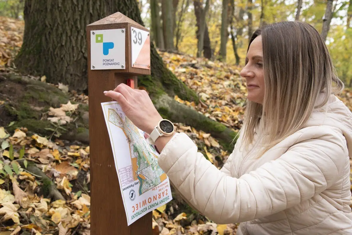
Each post has a unique number matching the map. Compare the map with the terrain — you choose your own route.
Every post has a punch. Punch the box on your control card — and the point is yours.
How to read the map
ZPK maps are detailed orienteering maps at 1:10,000 — 1 cm on the map is 100 m in the forest. The top edge of the map always points north. Here is what the colours mean:
Best runnability: you can walk or run freely between the trees.
The darker the green, the harder to get through. The darkest — better go around.
Meadows, clearings and fields. Good places to get your bearings.
Do not enter. Plan your way around it.
Contours show hills, hollows and banks. Posts often stand right by them.
Ditches, streams, ponds and marshy ground.
Dashed is a path, a thick line is a forest road. Fences and hunting stands are marked too.
Triangle S is the start, double circle F the finish. The post stands exactly in the centre of the circle. Purple lines are not paths!
Zorientowani na powiat poznański
Find at least 5 control points at any ZPK arenas in Poznań County and punch them on your map. Bring the map to the Poznań County Office (call ahead first) — a small gift is waiting for you.