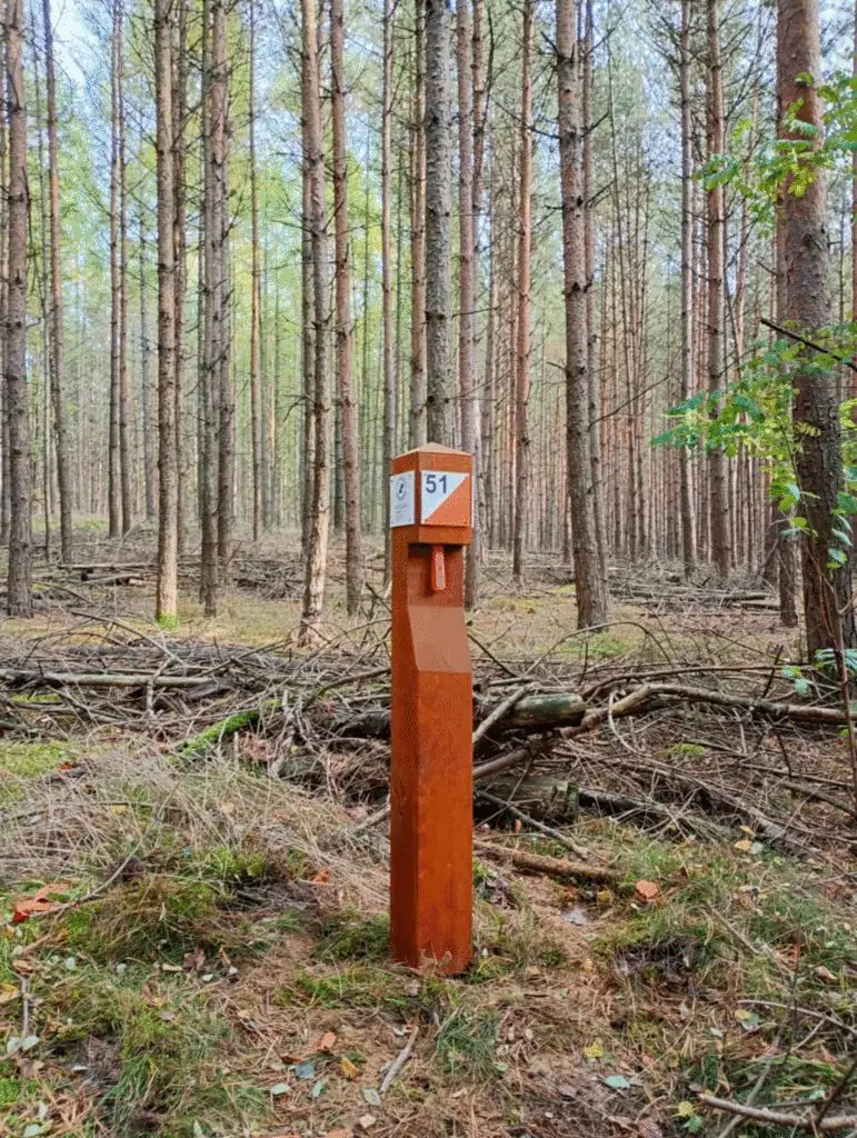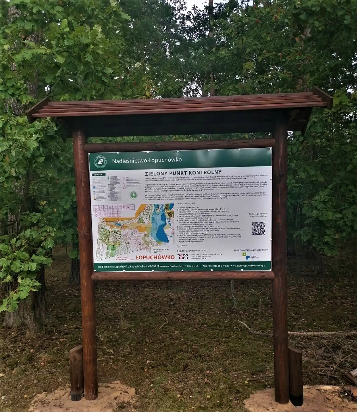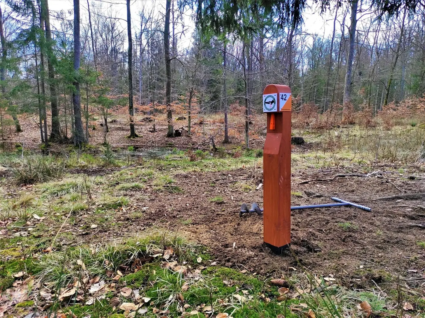
The “Lasy Rożnowskie” Green Control Point is in the Oborniki Forest District, 6 km north of Oborniki. We installed the posts on 7 November 2023 — in a single autumn day, starting at dawn.
There are 15 permanent control points over 5 km². Choose from four routes: family, easy, medium and long — from about 3 to 10 km. The project was co-financed by the Wielkopolska Regional Government.
The start is 6 km north of Oborniki on regional road DW178, past Dąbrówka Leśna.
Show the start on a map →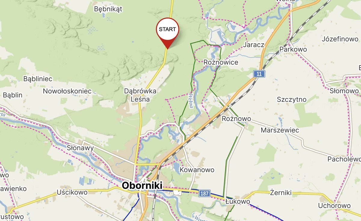
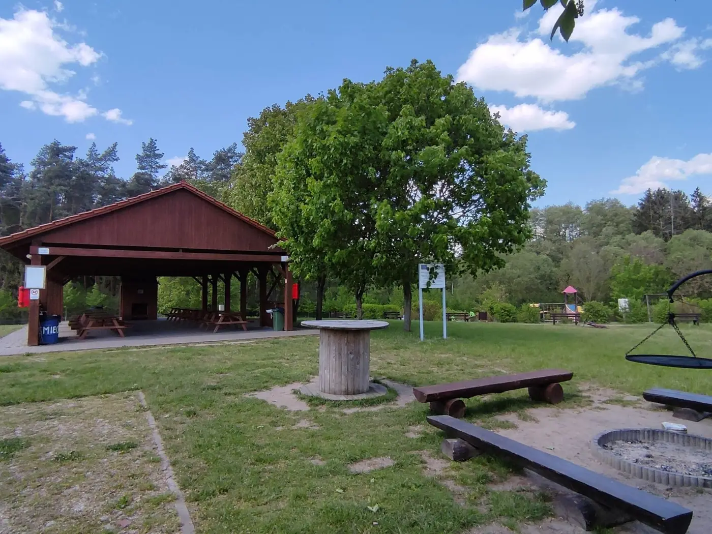
- Start at the municipal car park
- 6 km north of Oborniki, on the DW178 road
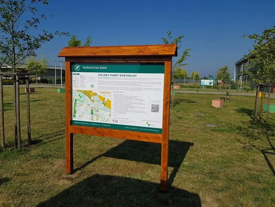
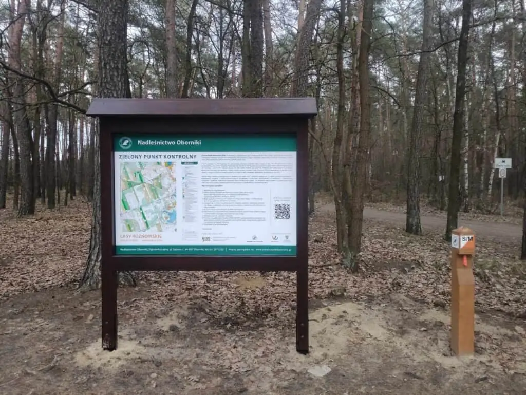
- Board with map and rules at the start
Pick your route
Route length is measured in a straight line between control points — how you get from one to the next is up to you. Families and beginners: start with the family or short route.
The shortest loop — from about 3 km.
For your first solo steps with a map.
More points in mixed forest.
Up to about 10 km across the whole arena.
How Lasy Rożnowskie was built
7 November 2023 — one day, fifteen posts and the forest in its best autumn colours.
Installing the posts — November 2023
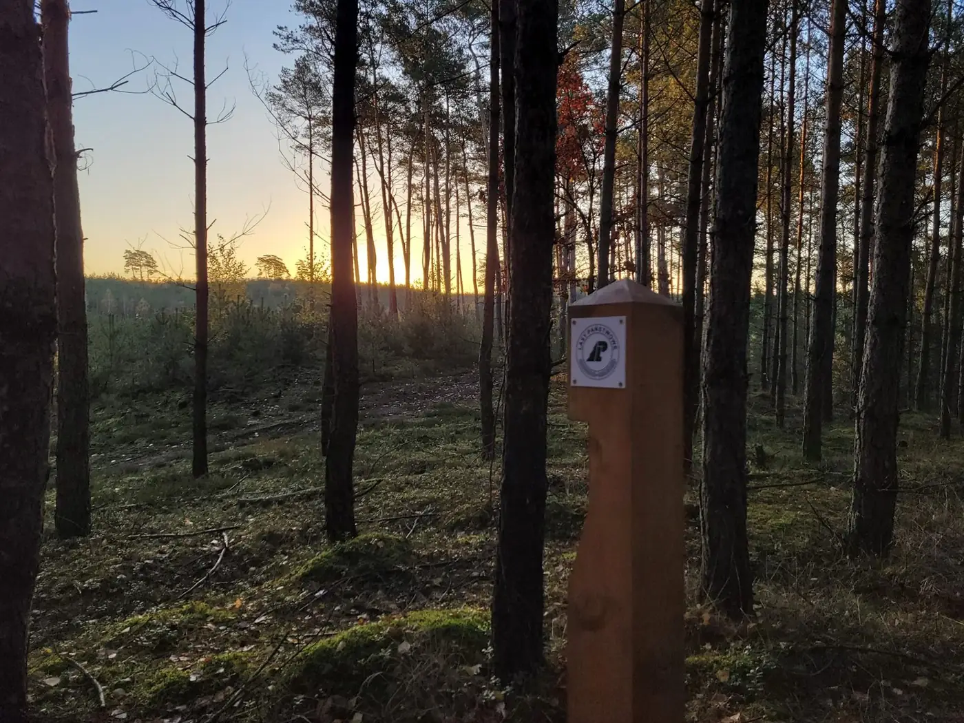 Dawn over the forest — the first post
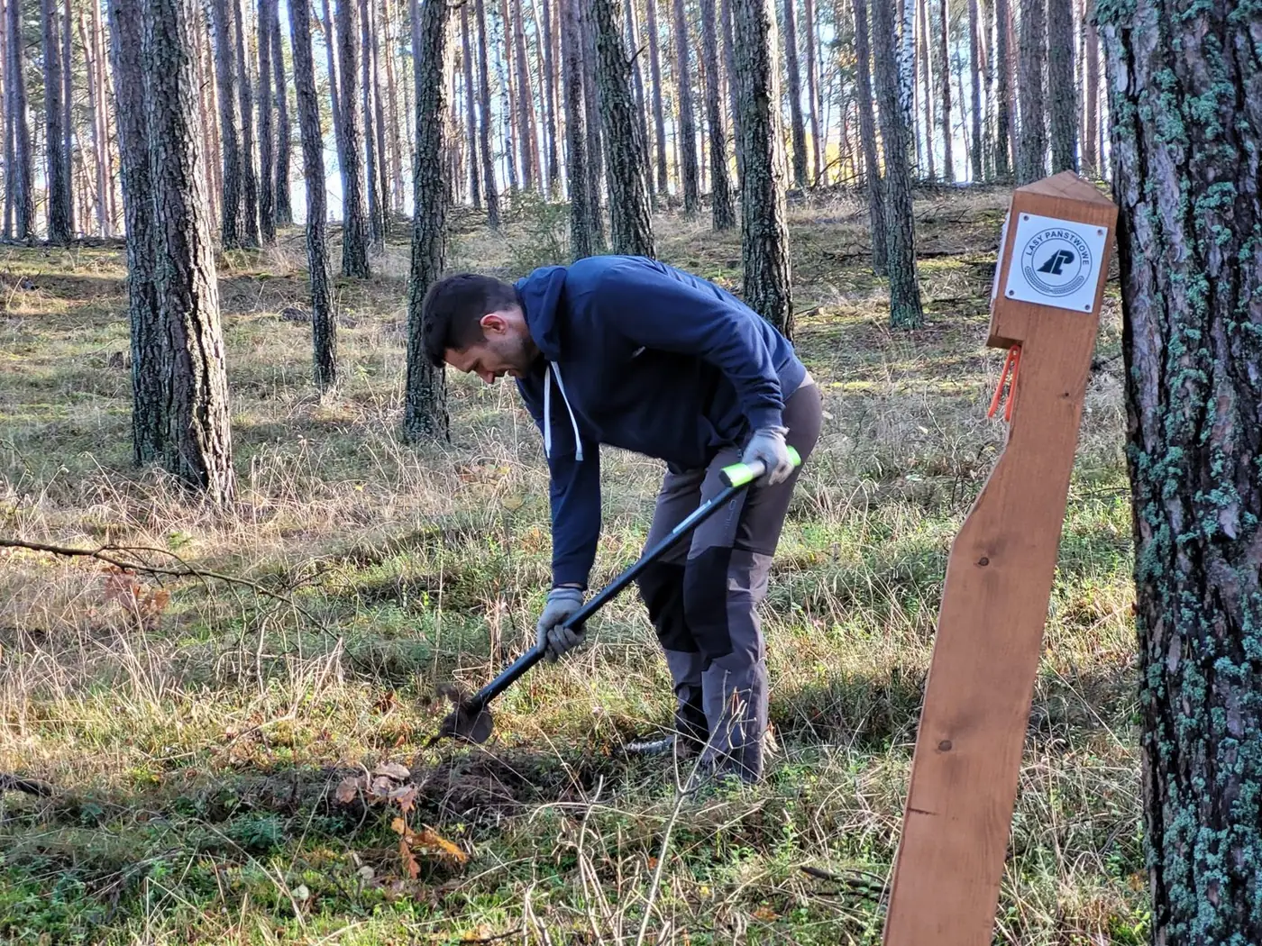 Digging for the next post
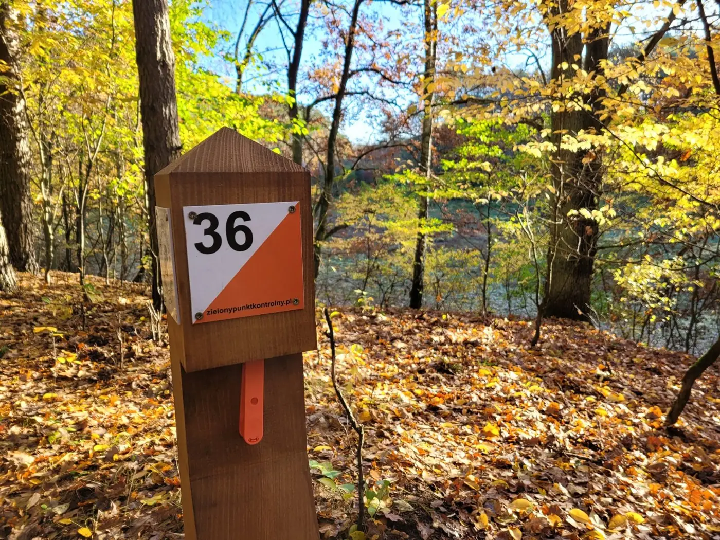 Post no. 36 among autumn beeches
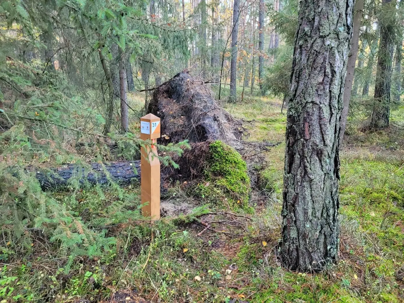 A post by a fallen tree
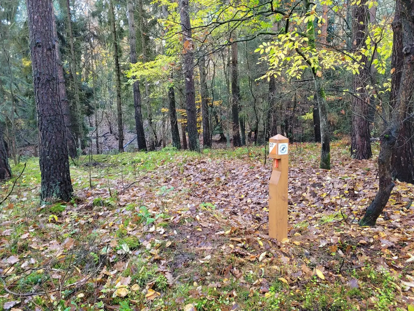 A point in a leafy corner of the forest
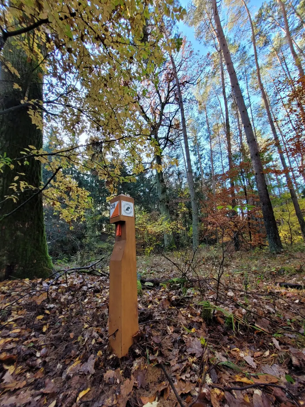 A post among the leaves
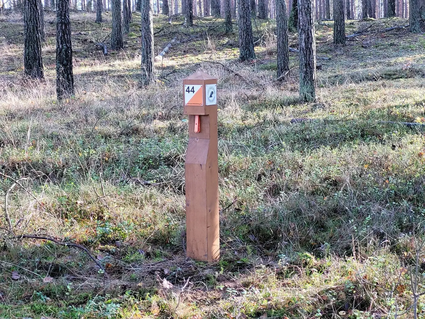 Post no. 44 in the pine forest
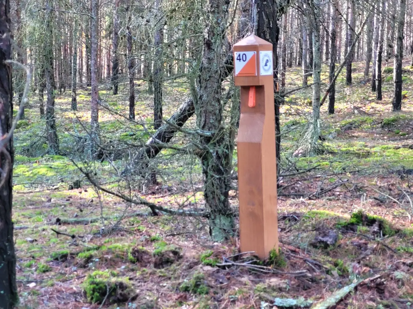 Post no. 40
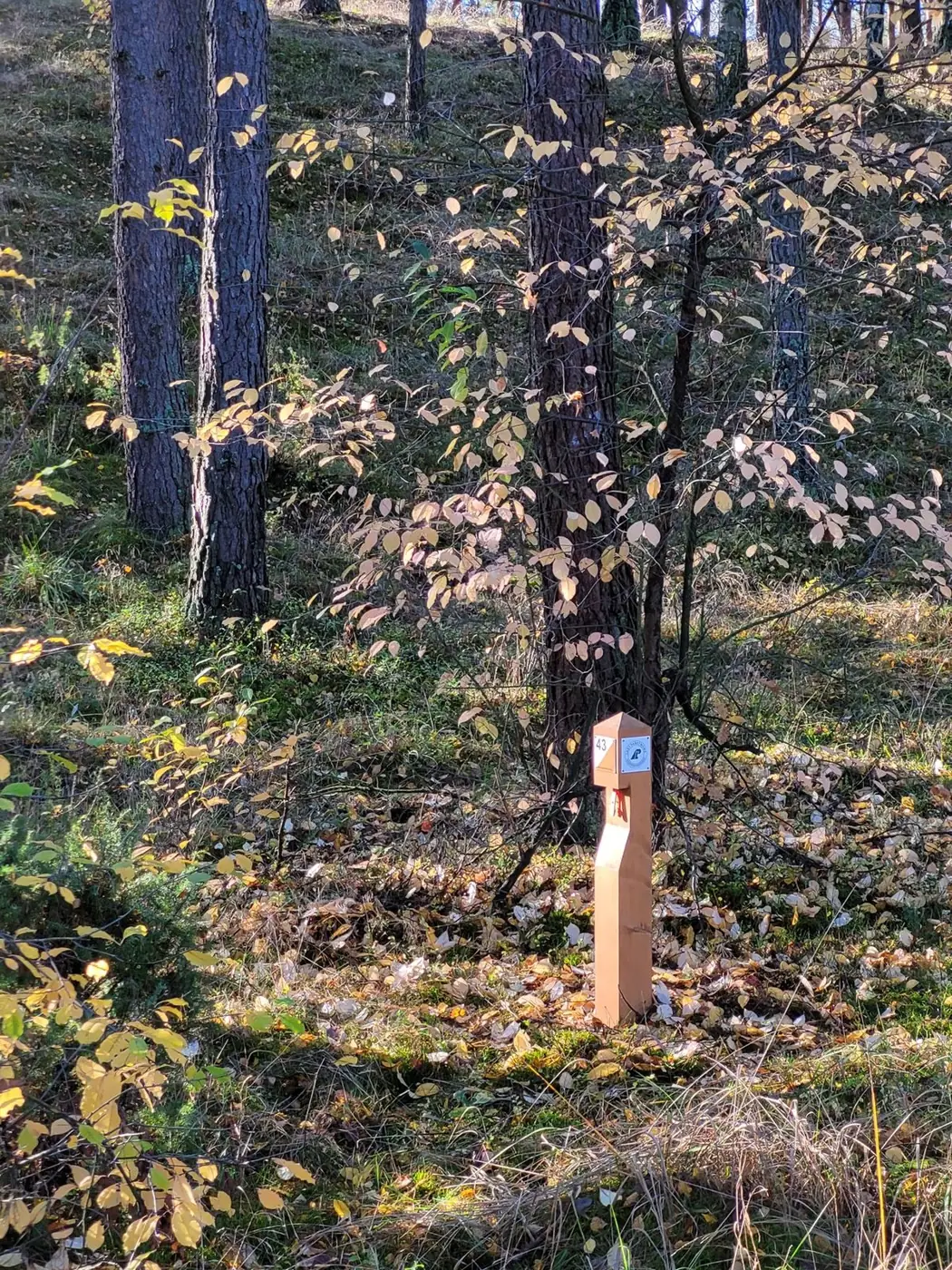 Another point on the map
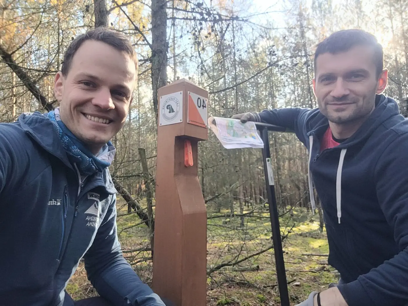 Done! The Poco Loco crew at a post
The arena
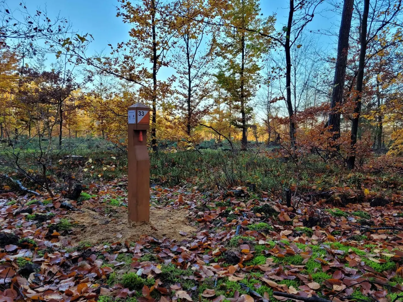
Courses
Print the map on A4 (scale 1:10,000 — 1 cm on the map is 100 m in the forest) and take it with you.
Choose a course — family, short, medium or long — and print the map at 1:10,000. The start is at the information board.
Each post has a unique number matching the map. Compare the map with the terrain — you choose your own route.
Every post has a punch. Punch the box on your control card — and the point is yours.
How to read the map
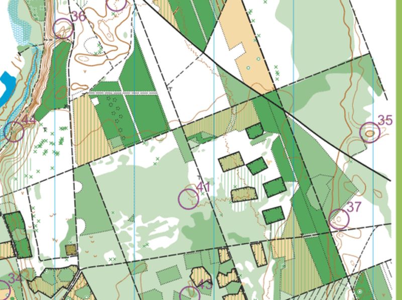
ZPK maps are detailed orienteering maps at 1:10,000 — 1 cm on the map is 100 m in the forest. The top edge of the map always points north. Here is what the colours mean:
Best runnability: you can walk or run freely between the trees.
The darker the green, the harder to get through. The darkest — better go around.
Meadows, clearings and fields. Good places to get your bearings.
Do not enter. Plan your way around it.
Contours show hills, hollows and banks. Posts often stand right by them.
Ditches, streams, ponds and marshy ground.
Dashed is a path, a thick line is a forest road. Fences and hunting stands are marked too.
Triangle S is the start, double circle F the finish. The post stands exactly in the centre of the circle. Purple lines are not paths!