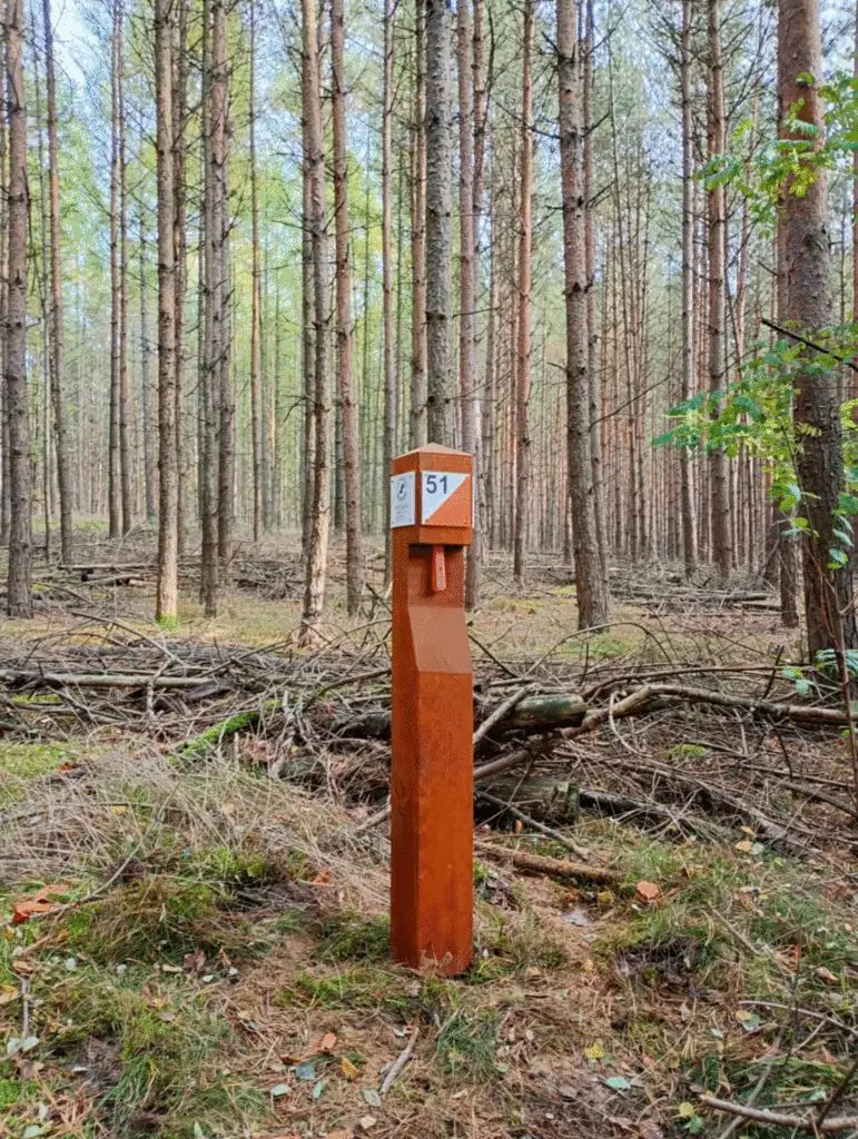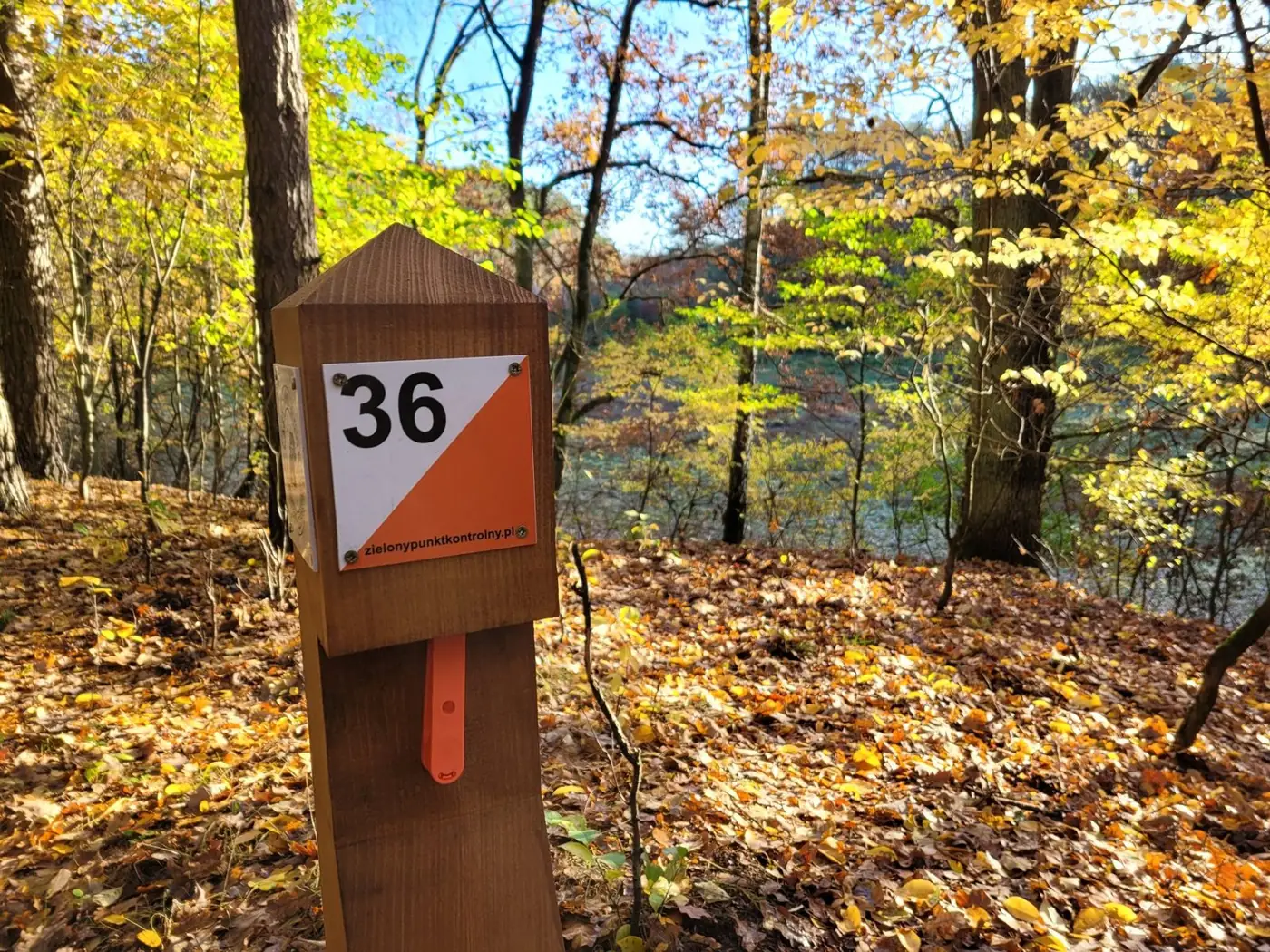
The “Kamionki” Green Control Point lies in the Babki Forest District, in the south of Poznań County, just past the city limits. We opened it in July 2022 with a family map rally — and since then it has drawn families, schools and runners.
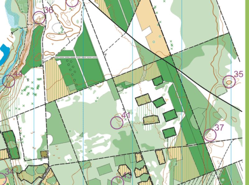
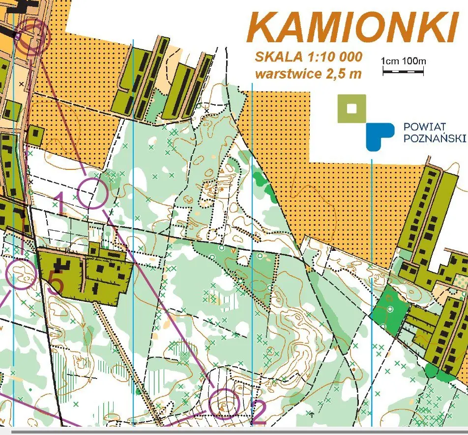
There are 15 permanent control points over 5 km². The 1:10,000 map with 2.5 m contours shows every path, hill and hollow. We updated the maps in May 2024: there is a family route (5 points) plus two short, two medium and two long routes.
Kamionki also features in our Forest Explorer’s Guide — with a step-by-step walk-through of the family route.
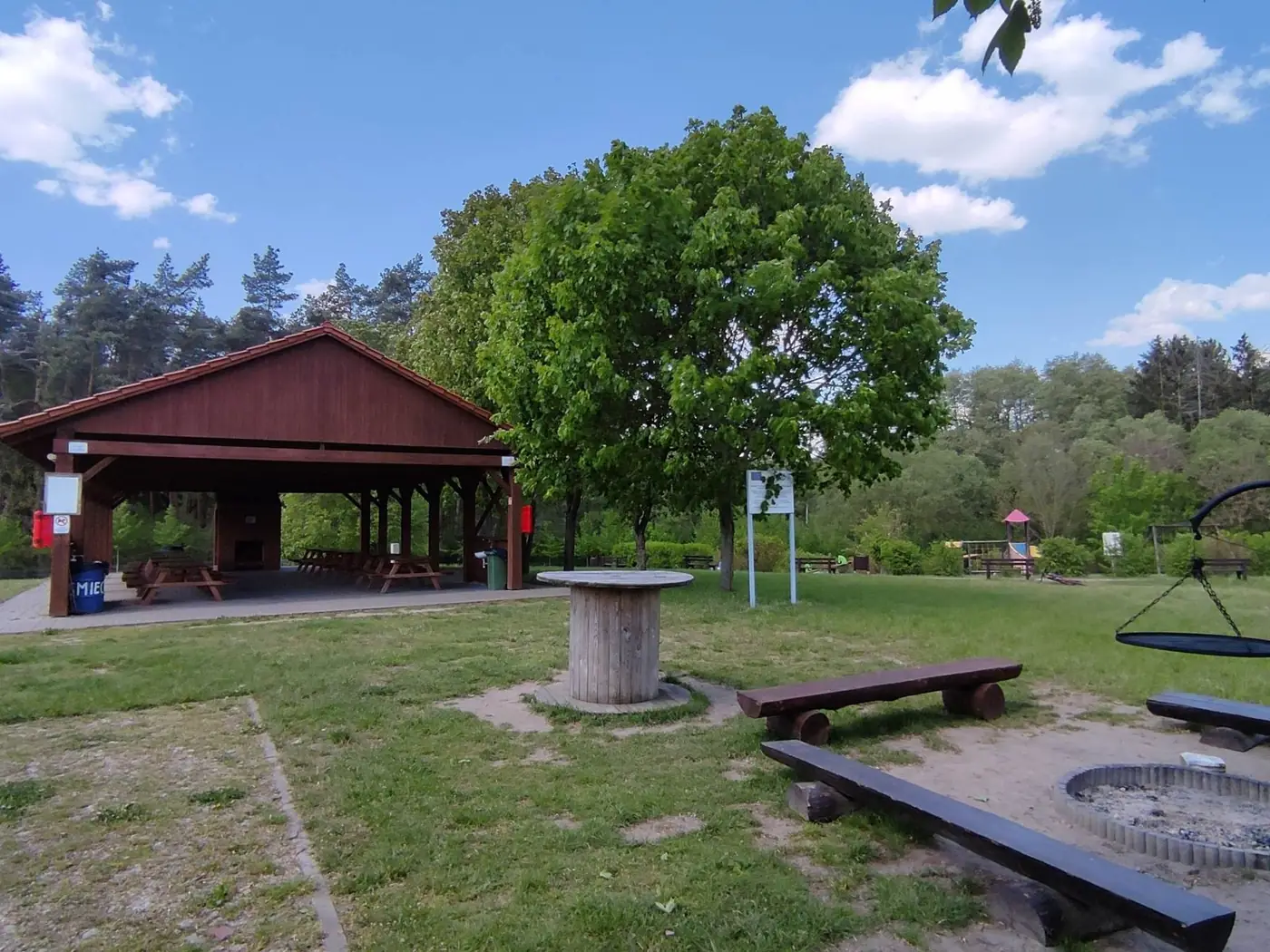
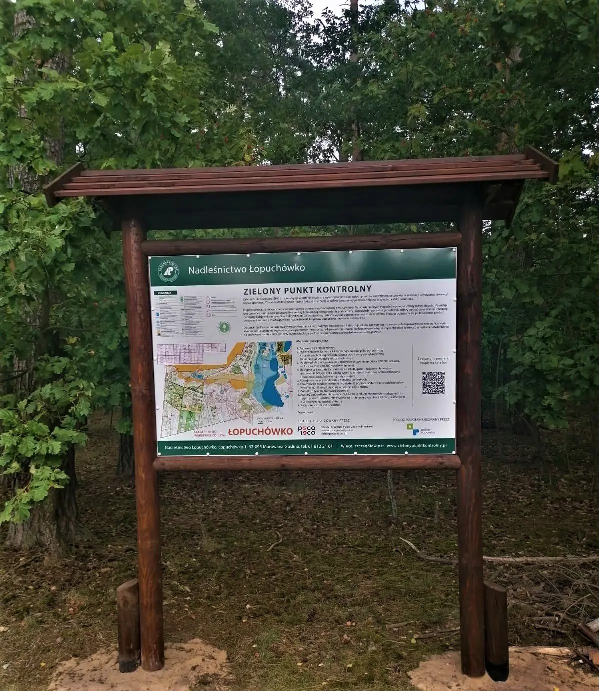
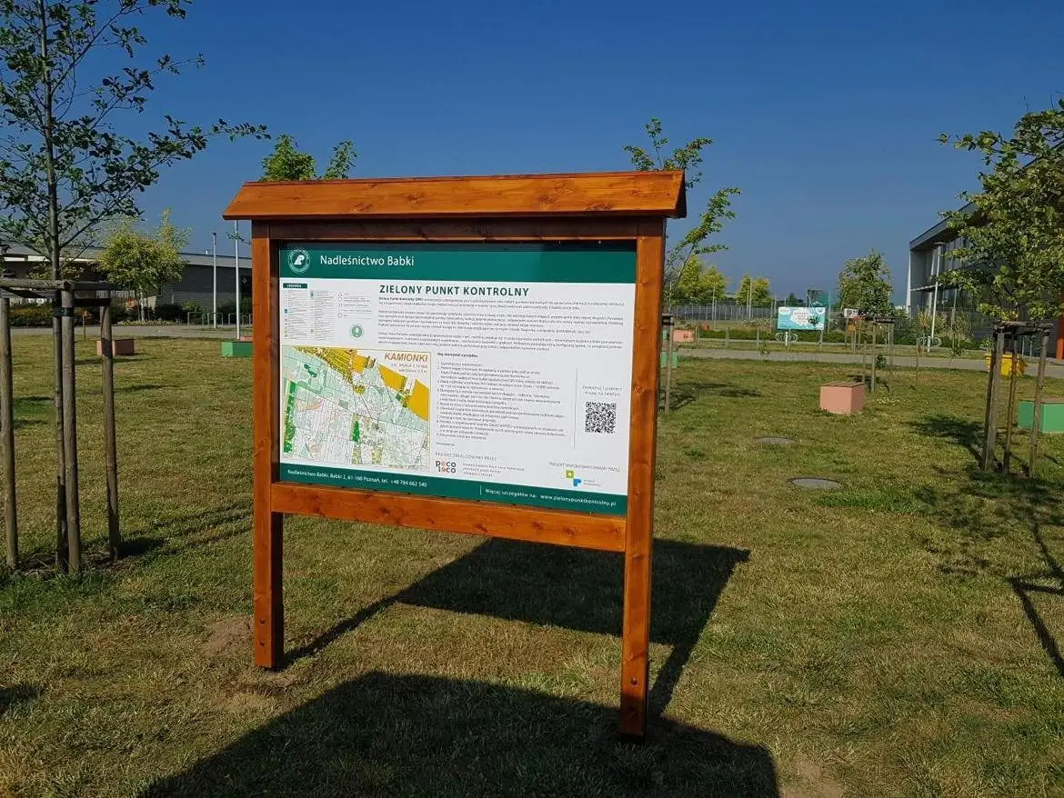
The start and information board are on the green next to the car park, right by the entrance to the primary school in Kamionki, ul. Mieczewska 36.
Show the start on a map →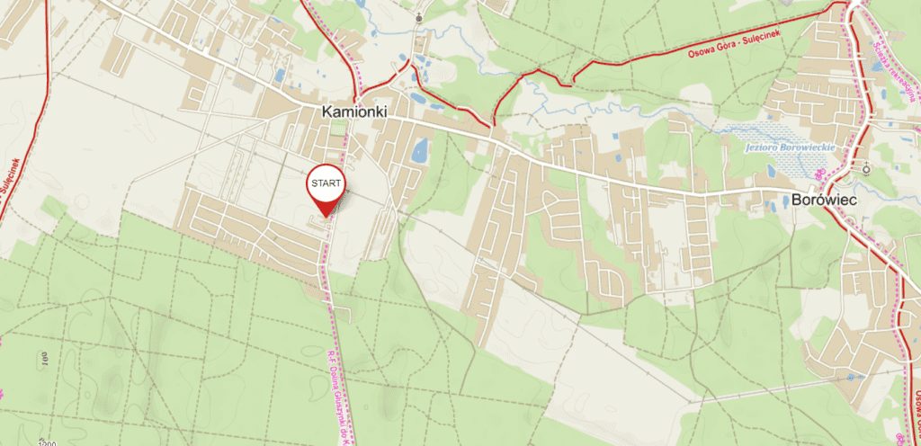
- Large car park at the school
- Start at the S/M post and the map board
- Maps updated in May 2024
Forest district page: babki.poznan.lasy.gov.pl/zielony-punkt-kontrolny-w-kamiokach-nadlesnictwie-babki
Pick your route
Route length is measured in a straight line between control points — how you get from one to the next is up to you. Families and beginners: start with the family or short route.
The easiest loop — for first-timers and kids.
Two different variants for beginners.
More points, more forest.
Every corner of the arena — up to 10 km.
Kamionki in pictures
Opening photos: Piotr Oleszak (Oleszak Fotografia).
Opening — July 2022
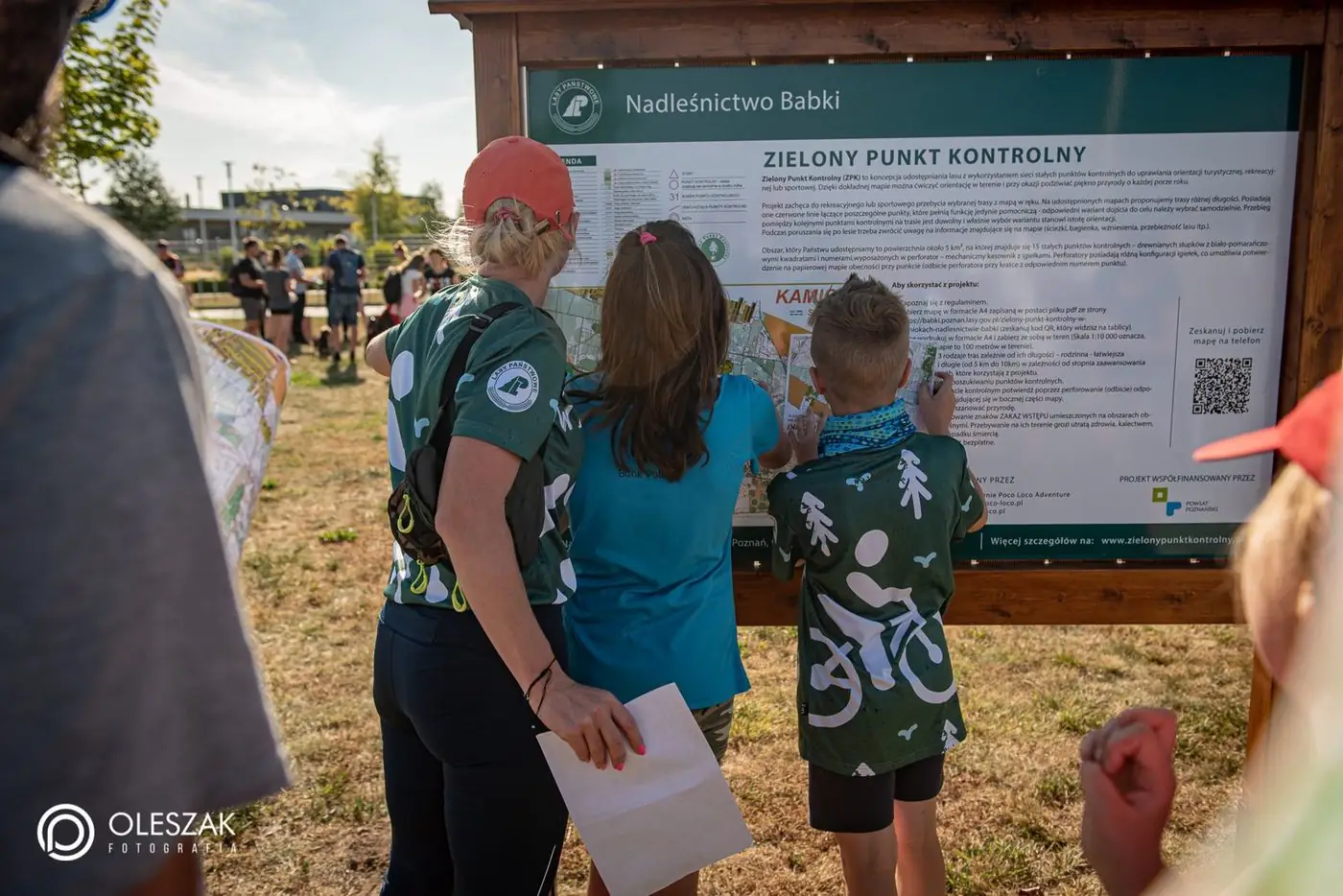 Opening of ZPK Kamionki, July 2022
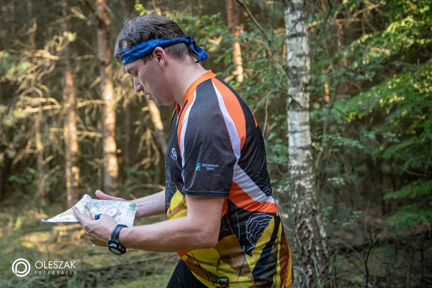
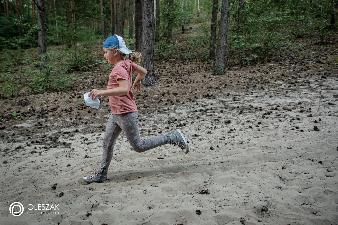
 First search with the map
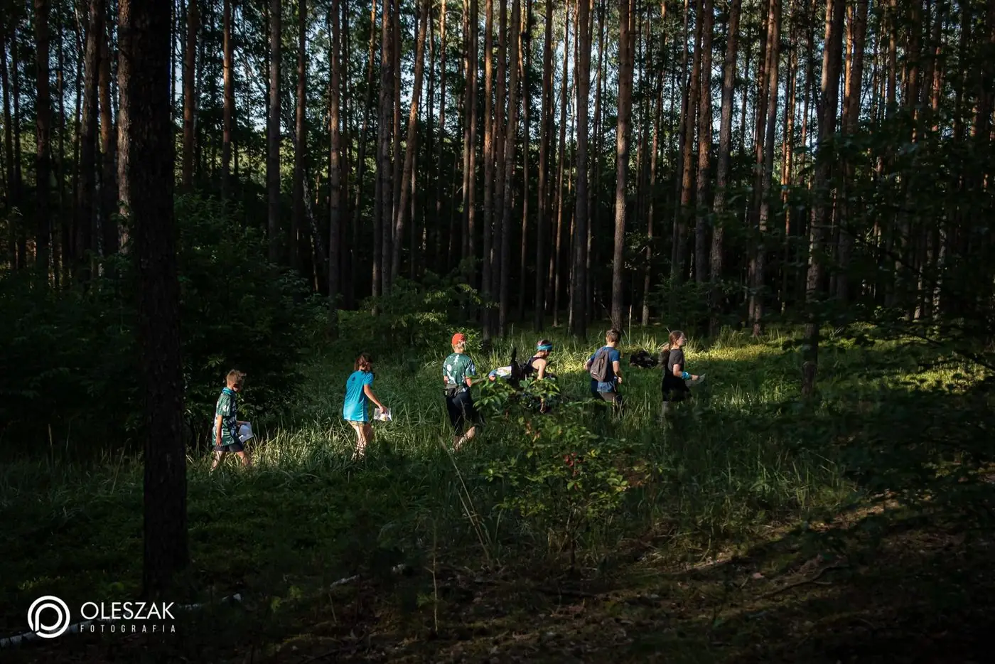
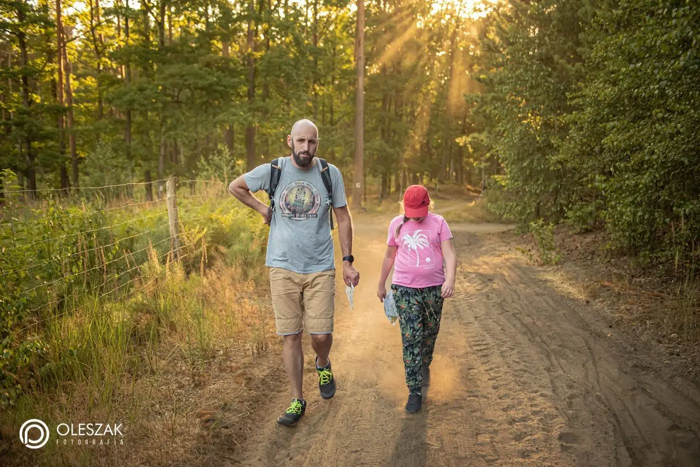
 Families on the course
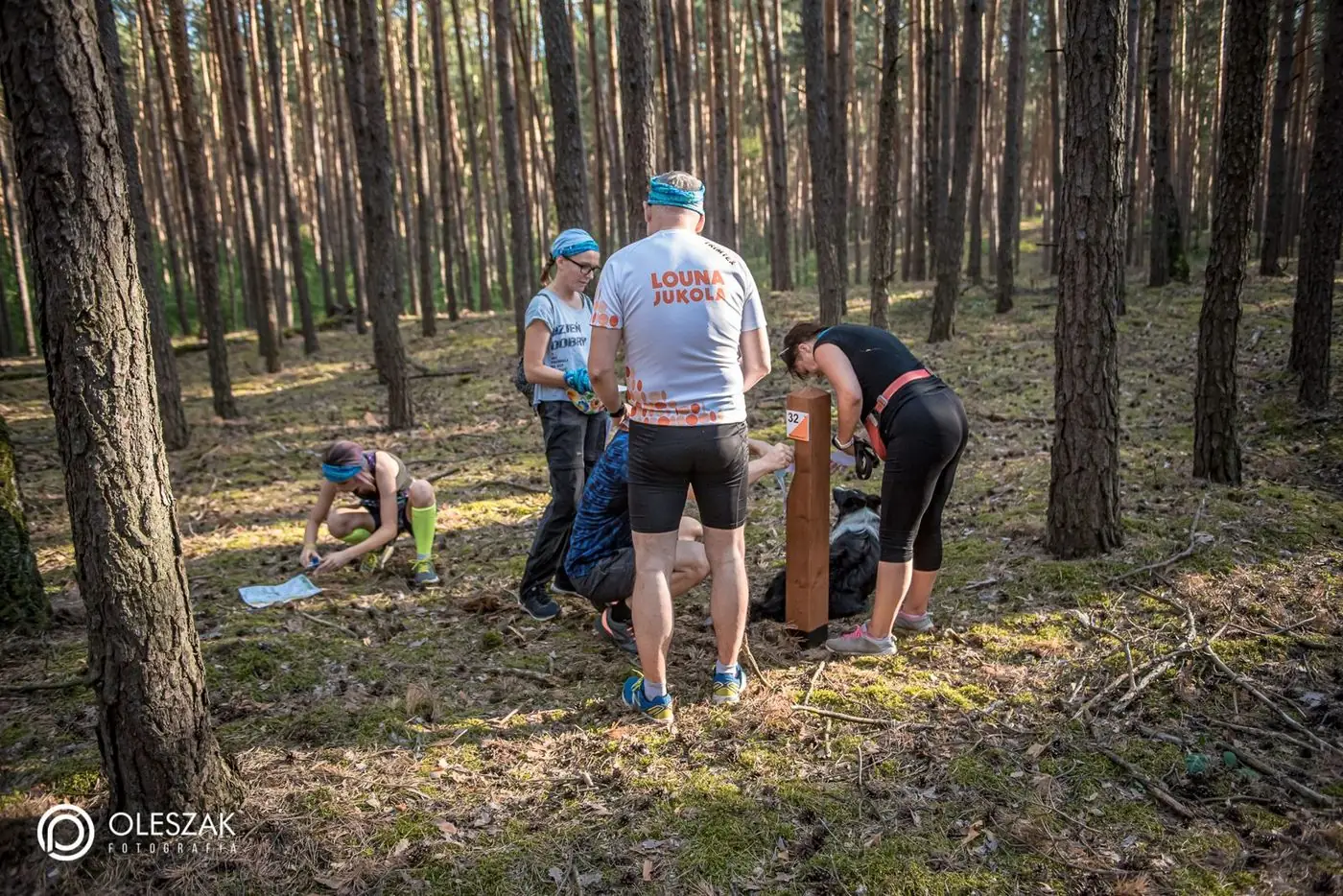
 Post found!
 The punch in action
 Babki Forest District woods
Start
Nearby
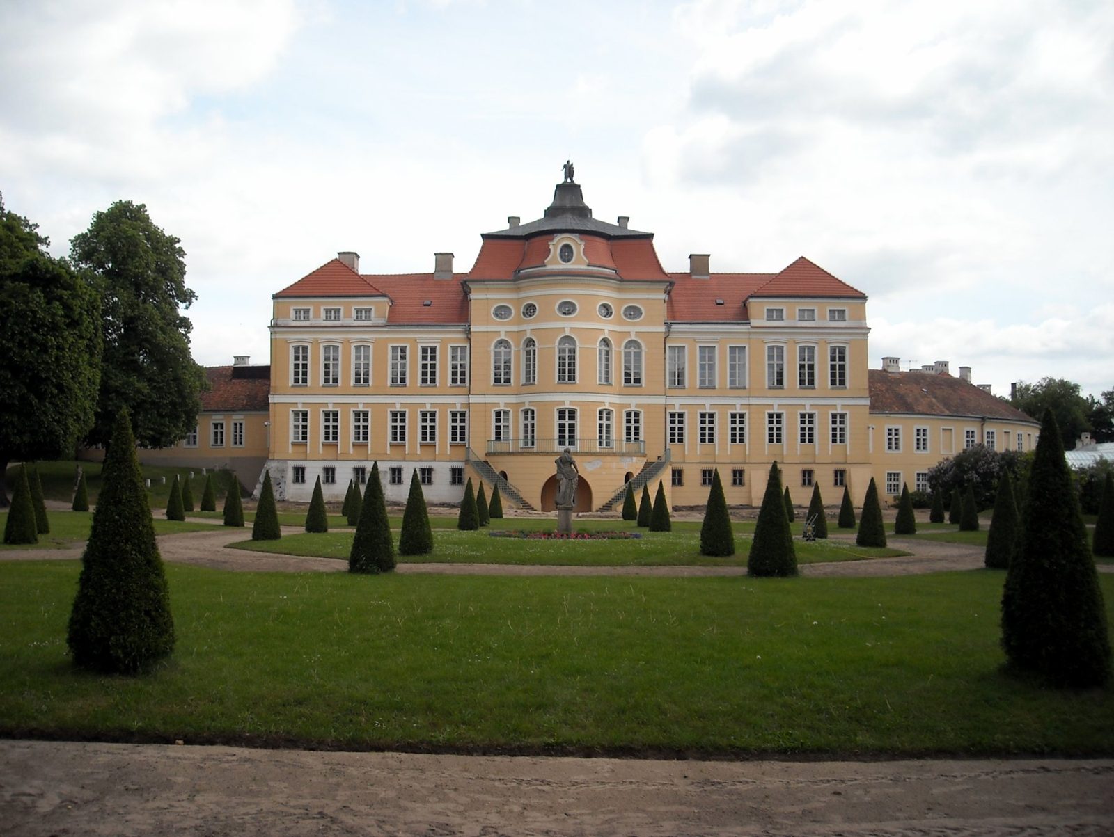
Rogalin Palace
The Raczyński family residence with a painting gallery and park — a short drive from Kamionki.
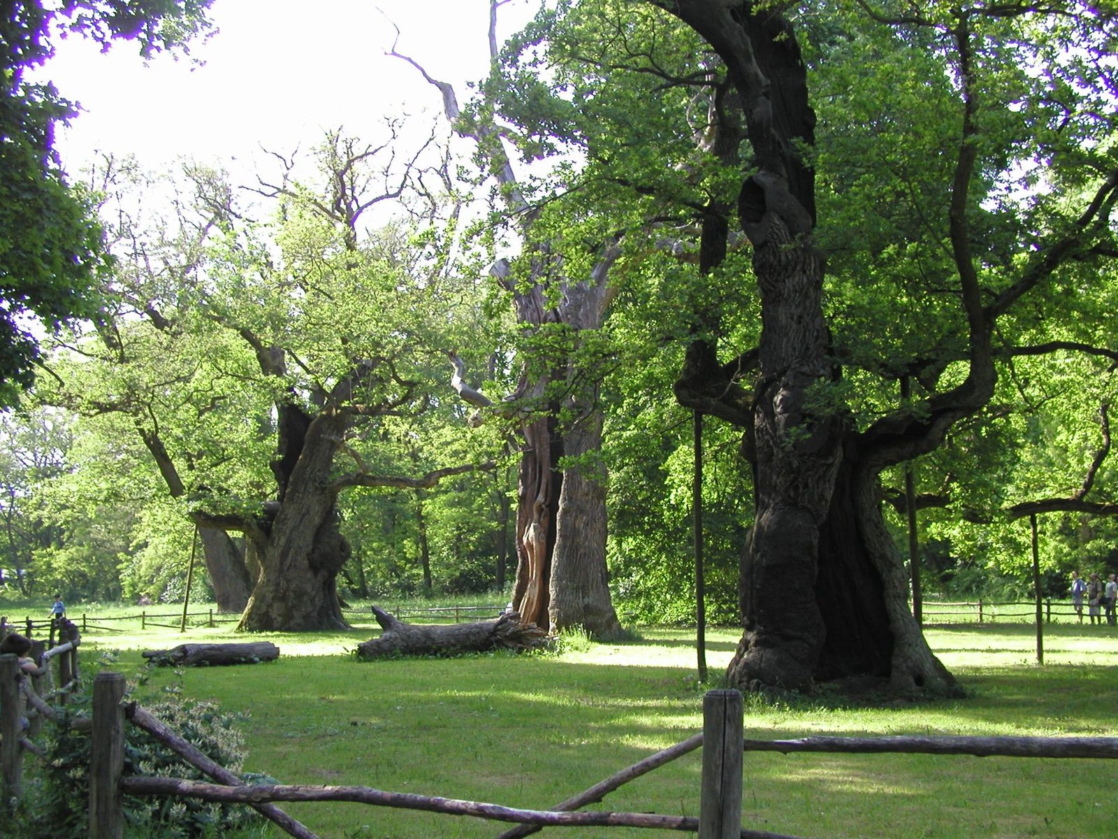
Rogalin oaks
One of Europe’s largest clusters of monumental oaks, in the Warta floodplain right behind the palace.
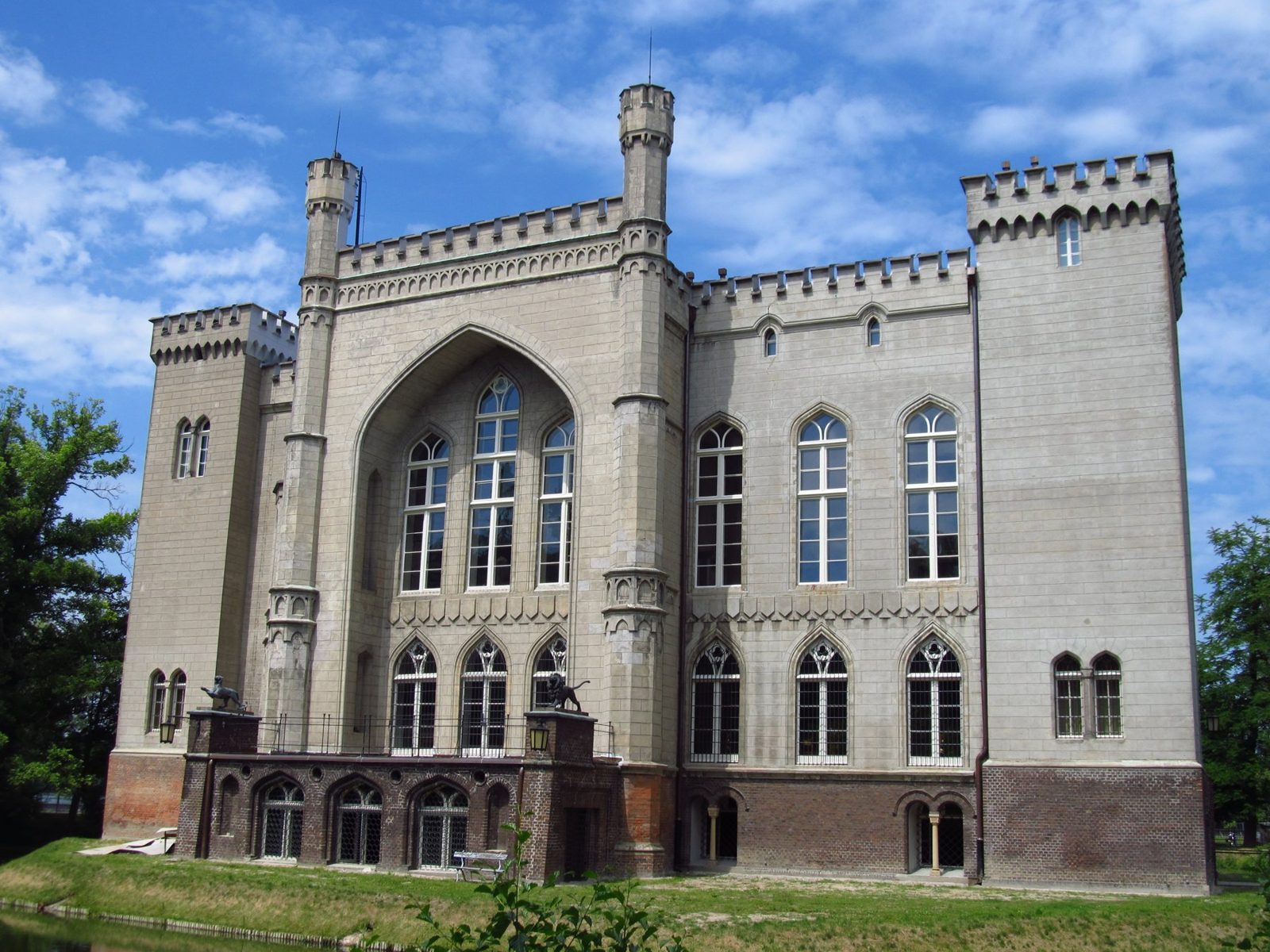
Kórnik Castle
The neo-Gothic castle of the Działyński family by the lake, plus the Kórnik Arboretum.
Courses
Print the map on A4 (scale 1:10,000 — 1 cm on the map is 100 m in the forest) and take it with you.
Map of all points
Open full size →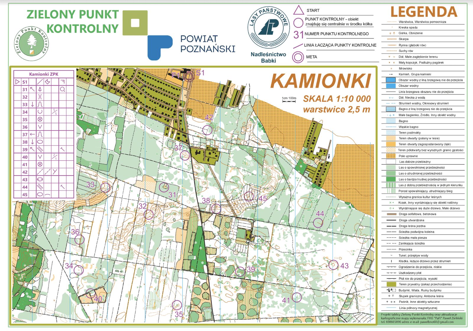
Choose a course — family, short, medium or long — and print the map at 1:10,000. The start is at the information board.
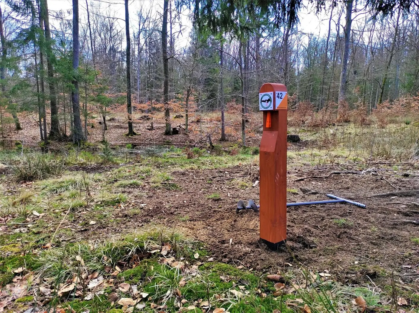
Each post has a unique number matching the map. Compare the map with the terrain — you choose your own route.
Every post has a punch. Punch the box on your control card — and the point is yours.
How to read the map
ZPK maps are detailed orienteering maps at 1:10,000 — 1 cm on the map is 100 m in the forest. The top edge of the map always points north. Here is what the colours mean:
Best runnability: you can walk or run freely between the trees.
The darker the green, the harder to get through. The darkest — better go around.
Meadows, clearings and fields. Good places to get your bearings.
Do not enter. Plan your way around it.
Contours show hills, hollows and banks. Posts often stand right by them.
Ditches, streams, ponds and marshy ground.
Dashed is a path, a thick line is a forest road. Fences and hunting stands are marked too.
Triangle S is the start, double circle F the finish. The post stands exactly in the centre of the circle. Purple lines are not paths!
Zorientowani na powiat poznański
Find at least 5 control points at any ZPK arenas in Poznań County and punch them on your map. Bring the map to the Poznań County Office (call ahead first) — a small gift is waiting for you.