
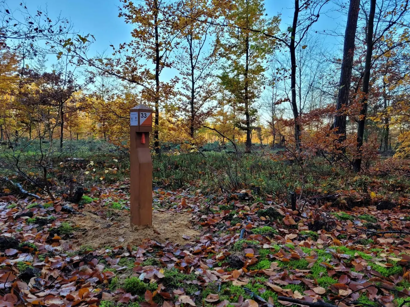
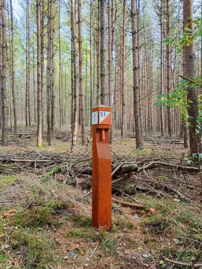
Green Control Points are permanent posts set in the forest and marked on a dedicated orienteering map. Participants find the points by comparing the map with the terrain — as a walk, a workout or a race, in any season.
It is an educational and recreational project: it combines outdoor activity with a sense of adventure, teaches navigation and shows the nature of the local forests. The system is simple, intuitive and open to everyone — from children to adults.
- Children and teenagers with parents or carers
- Schools — outdoor lessons and trips
- Scouts — camps, rallies and meetings
- Families and visitors — active, educational walks
- Sports camps, team events and orienteering competitions
- Athletes training foot and bike orienteering
Map in hand, into the forest
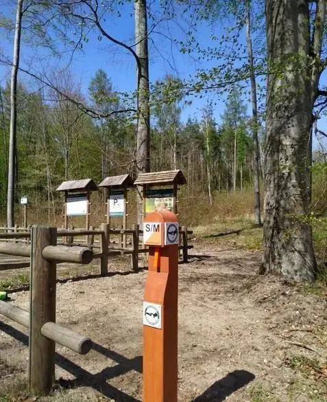
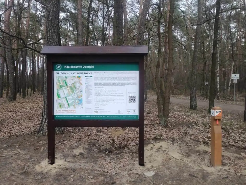
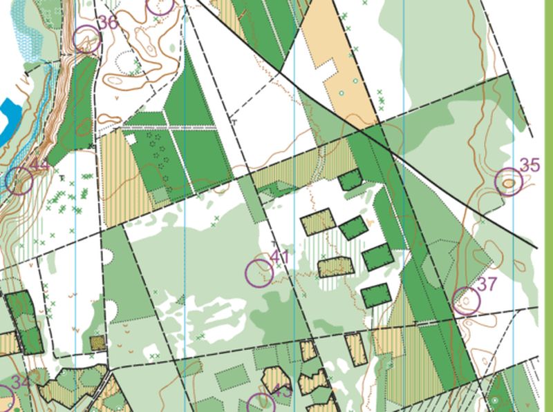
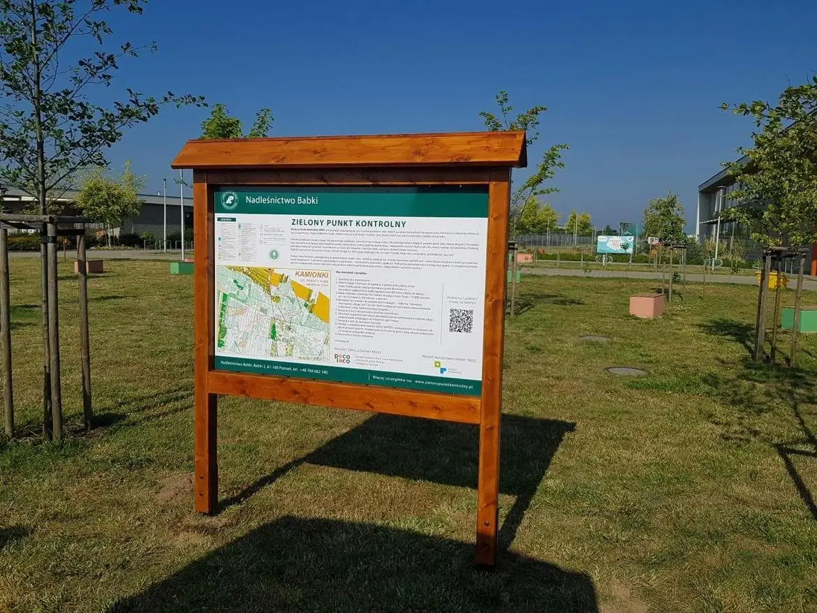
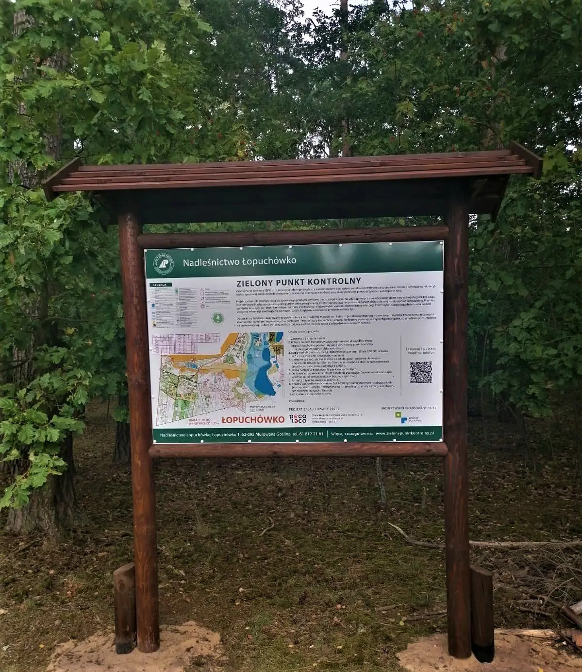
Choose a course — family, short, medium or long — and print the map at 1:10,000. The start is at the information board.
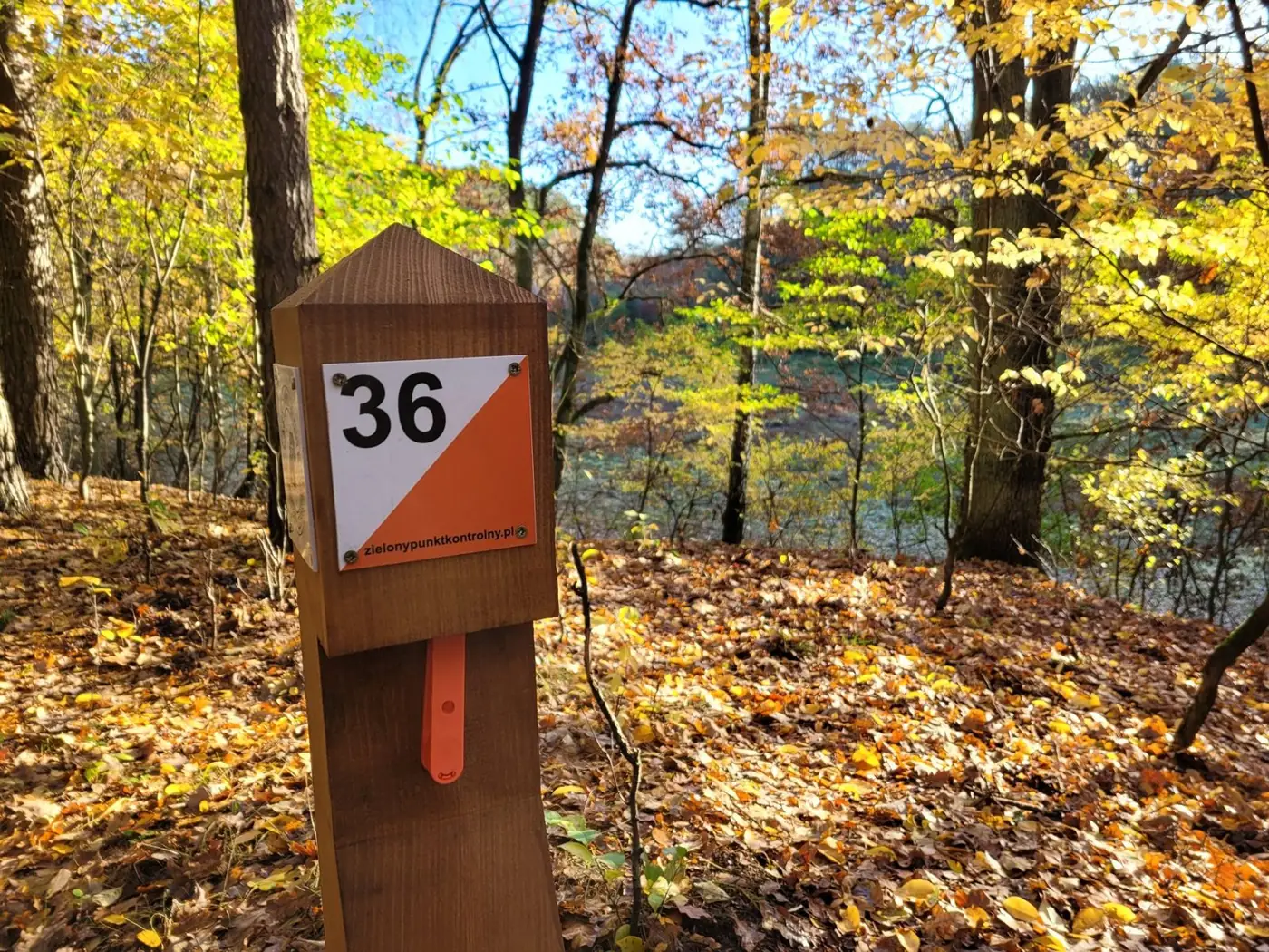
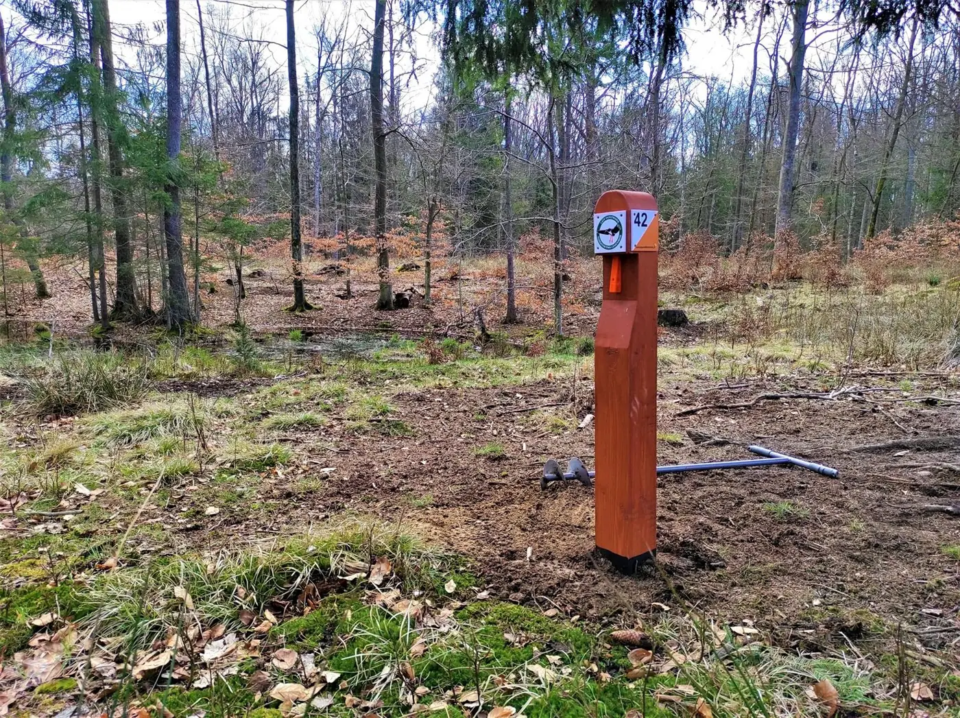
Each post has a unique number matching the map. Compare the map with the terrain — you choose your own route.
Every post has a punch. Punch the box on your control card — and the point is yours.
For forest districts and municipalities
We run the project from choosing the terrain to opening it to residents. It can be a single map or several arenas within one forest district — each with its own name reflecting the area.
- Terrain selection — interesting relief, viewpoints, nearby shelters and natural attractions
- Professional print and online map drawn by a licensed orienteering mapper
- Posts of impregnated wood with a number and a punch
- Information board with the map, rules and educational content
- Listing in the national database at zielonypunktkontrolny.pl and promotion via local media, schools and clubs
- Inspections and maintenance of the points in later years
Our arenas
30 pts30 points · Chodzież
 14 pts
14 points · Dobrzyca
 15 pts
15 points on 5 km² · Oborniki
 12 pts
12 points on 2.5 km² · Żarnowiec
 15 pts
15 points on 5 km² · Kamionki
 16 pts
16 points on 4 km² · Puszcza Zielonka
 15 pts
15 points on 4 km² · Szczecinek
Tworząc ZPK Talerz na terenie Nadleśnictwa Podanin widać było duże zaangażowanie w projekt, który wykonano z dużą starannością, precyzją i dbałością o detale. Wszystkie prace — budowa map, propozycje tras, umiejscowienie punktów kontrolnych oraz ich wykonanie — stały na wysokim poziomie i, co ważne, zostały wykonane w ustalonym terminie.
Nadleśnictwo Podanin · 27.01.2026
Jako partnerzy projektu jesteśmy w pełni usatysfakcjonowani zarówno z przebiegu wzajemnych kontaktów, jak i z finalnego efektu. Trasy są przemyślane, a infrastruktura w terenie wykonana solidnie i estetycznie, co gwarantuje trwałość przedsięwzięcia. W ubiegłym roku Stowarzyszenie dokonało przeglądu wszystkich punktów i niezbędnych konserwacji.
Nadleśnictwo Konstantynowo · 27.04.2026